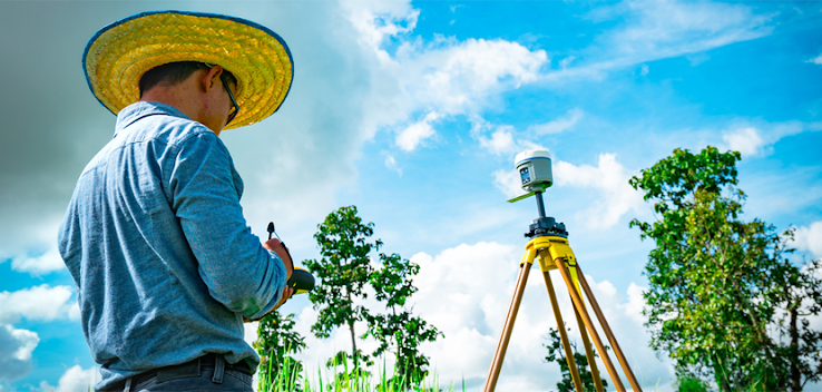
A brief overview of the Ground-penetrating system.
Searching for someone who can survey your infrastructural site? Then the best place you can visit is Shijay Projects India Private Limited. Now, who are we? What do we offer? Shijay Projects India Private Limited is a company that surveys the land and gives you knowledge regarding underground things. This survey was mostly done before setting up a large site, factory, or plant.
We have provided our services to various industry infrastructures such as Petrochemical refineries, Power stations, and intakes, Sewers, Ports and harbors, Seawalls, pipelines & bridges, and Dredging & reclamation.
Shijay Project offers Shallow Geophysical Surveys, including Data Acquisition, Data Processing, and other associated services for Telecom, Civil, Infrastructure, and EPC companies.
The core areas on which we are focused are:
Shallow Geophysical Surveys
Oil and Gas Services
Mining and Hydropower
Image Processing/ LIDAR / DRONE survey
The company also offers Geophysical/GIS Survey Services. The systematic collection of geophysical data for spatial studies is known as a geographical survey. Geophysical surveys needed a great variety of sensing instruments as it helps to collect all the related data collected from above or below the Earth's surface. In a city, like Delhi where the population increases rapidly and infrastructure development is also growing at a fast rate, the need for geographical surveys increases.
We use various kinds of techniques to find the best result for you and some of them are explained below:-
Multichannel analysis of surface waves (MASW)
It is a seismic surface-wave technique developed especially to look at near-surface applications at depths usually shallower than a few tens of meters. Since it is introduced in the late 1990s this technique was used by various companies as it is way too easier to use than other common seismic approaches and it also provides the shear-wave velocity (VS) of ground materials, which is one of the most important geotechnical parameters in civil engineering. The MASW survey is very important in seating oil and gas plants as they have to know what is beneath the ground in more than 10m and we can proudly say that we do the best MASW Survey in India.
Geographic information system (GIS)
A geographic information system (GIS) is a computer system for capturing, storing, checking, and displaying data related to positions on Earth’s surface. By relating seemingly unrelated data, GIS can help individuals and organizations better understand spatial patterns and relationships. The geophysical survey contains a lot of techniques that help to understand the images of different structures which are formed under the earth’s surface.
GROUND-PENETRATING RADAR
GPR is used for locating all kinds of buried utilities. Equipment is typically made up of two parts, a transmitter, and a receiver. In the case of ground-penetrating radar, the transmitter emits radio waves into the ground. When these waves hit something underground, they reflect off of the object and are collected by the receiver. The receiver’s software translates these signals into an image of the object belowground. We can say that we are the best Ground-penetrating radar service provider in
For doing all this research regarding your land we have one of the best pieces of equipment. All this equipment is based on the latest technology which helps us to provide you the accurate results about it. We also sell these products as we want others to gown well, so if you are interested in buying these machines you should contact us as we are the best Ground-penetrating radar instrument provider in Delhi. As we have the best team for this, our team is highly qualified and gain a lot of experience in their respective fields.


Comments
Post a Comment